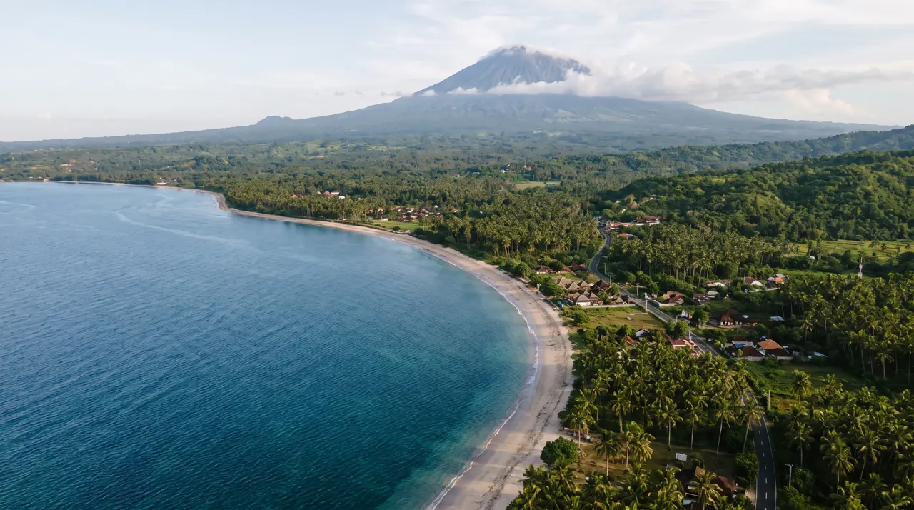
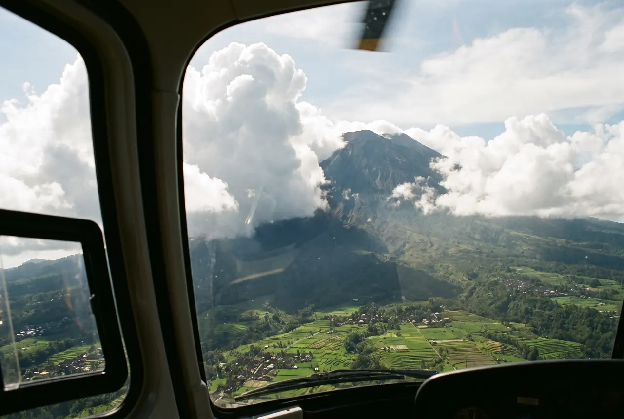
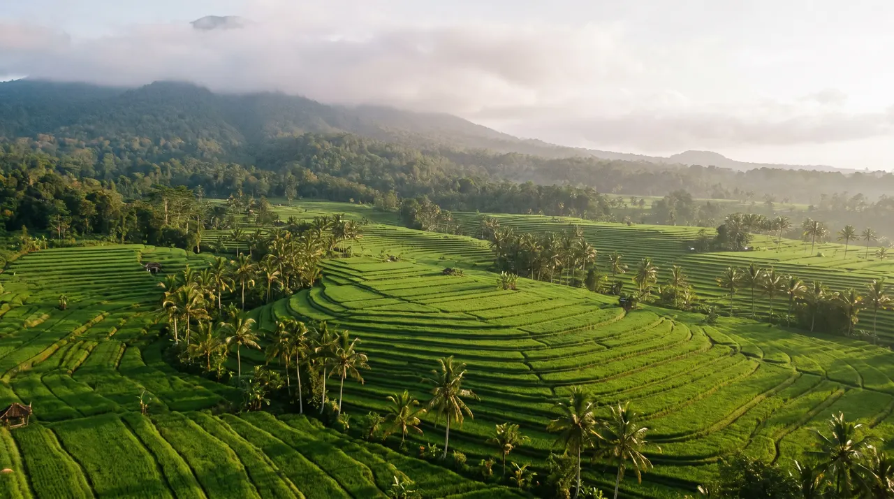
Mount Batur Helicopter Tour
From $1,150 · whole helicopter
30 minutes over the Batur caldera, its crater lake and the Kintamani rim, with the Tegalalang terraces on the way. Mornings, in clear air.
Volcano alerts and ash advisories decide where a helicopter can fly near Mount Agung (3,031 m) and Mount Batur (1,717 m). When an alert level rises or ash is reported, the operator and air traffic control can close a route, move your flight to a clear area such as Ubud or the Bukit, or stop flying altogether. A Mount Batur flight is $1,150 for the whole helicopter, and the clearest hours are 07:00 to 10:00. Below: what the alerts mean, how routes change and what we do when a level moves.
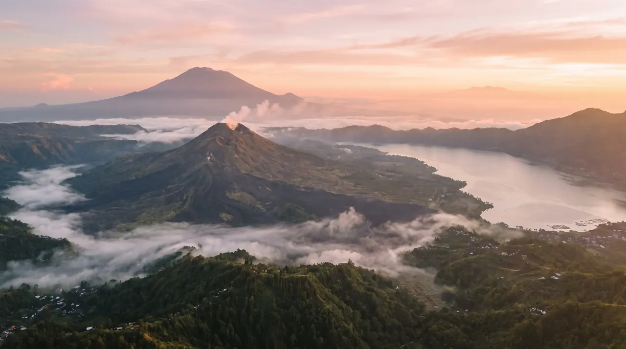
All three are active volcanoes, and each one affects a helicopter differently. Times are airborne minutes from the Bukit pad area.
| Volcano | Height and place | What it means for a flight |
|---|---|---|
| Mount Batur | 1,717 m, inside the Batur caldera beside Lake Batur at Kintamani | The usual volcano flight, 20–30 min from the Bukit; the Batur tour starts at $1,150. Best before the cloud builds. |
| Mount Agung | 3,031 m, Bali's highest and holiest, in the east | Reached in 20–30 min. Seen from a distance on most routes, and the most sensitive to alerts after the 2017–2019 eruptions. |
| Mount Rinjani | 3,726 m on Lombok, with the Segara Anak crater lake | 40–60 min from the Bukit, by quote; see Rinjani from Bali. Its summit is often in cloud by late morning. |
No landing on a volcano slope, in a crater or in protected areas. Landings near Kintamani use approved sites only; see Kintamani pick-up.
Indonesia's volcanology agency, PVMBG, sets an alert level for each volcano from I (Normal) to IV (Awas, or Danger), with Waspada (II) and Siaga (III) in between. When the level goes up, officials widen the exclusion zone around the crater. The levels belong to the agency and change with the volcano's activity, so check the official source rather than a travel blog, including this one.
Aviation uses its own tools. A regional Volcanic Ash Advisory Centre issues ash advisories, and a colour code for aviation runs from green to red. Pilots and air traffic control read these before every flight in the area. They are designed to keep aircraft out of ash, because volcanic ash is abrasive and can damage engines, windscreens and rotor blades, and it cannot always be seen in haze or cloud.
That is why the two decisions are separate. The alert level tells the operator how close it may fly to the crater. The ash advisory tells air traffic control which airspace to close. A flight that is fine under one can still be stopped by the other, and the operator and air traffic control have the final word, not us.
Mount Agung's activity between 2017 and 2019 closed Bali's airport several times, left visitors stuck and put the volcano in the news for travellers worldwide. It remains the benchmark for what an alert can do. Airlines, harbours and helicopter operators all follow the same signals, so a closed airport and a closed helicopter route often come together.
The practical lesson is flexibility. If you build a volcano flight into a tight itinerary, with an international departure the same evening, you carry the risk. Keep a spare day before you leave Bali, check your travel insurance for volcano disruption, and tell us if your plan has no buffer. Our questions to ask an operator guide covers the other side: what the operator should tell you about its limits.
This is what we usually expect, not a promise. The operator and air traffic control decide on the day.
| Situation | What usually happens to the flight | What we offer you |
|---|---|---|
| Normal (I), clear morning | The planned route runs at the operator's usual distance from the crater | The flight as booked |
| Alert (II) around Agung or Batur | The route may keep a wider distance from the crater, and the pilot may skip the closest pass | Same price, a slightly different route, agreed before take-off |
| Standby (III), Danger (IV) or ash reported | No flying into the zone; air traffic control may close the airspace or the airport | A clear route such as the Ubud flight, a new date, or a refund of the part not flown |
| Summit in cloud | The volcano is hidden, so the view is poor | An earlier slot the next day, or a coastal flight instead |
Nothing here is a safety guarantee. The pilot can cancel or change any flight, and we do not argue with the decision.
Mountain cloud builds from late morning, especially in the wet season from November to March, and the high summits cloud over first. Agung at 3,031 m and Rinjani at 3,726 m are the first to disappear. Batur at 1,717 m holds out longer, but cloud can fill the caldera by the afternoon.
A volcano flight at 07:30 gives you a clear crater lake, clean slopes and the best air of the day. In the dry season from April to October the window is wider; in the wet season it can close by 10:00. Our best time for a helicopter flight guide lists the months. If you want the whole island, the grand circle tour starts in the same early hours.
That means the alert level and any ash advisory for the area your route covers.
They tell us which routes are open, how close the pilot may go and whether any airspace is closed. We pass their answer on without softening it.
A different route, an earlier or later slot, another date, or a refund of the part not flown.
If your dates are fixed, say so at the start and we will plan a back-up route in a clear area.
If the pilot says no, the flight does not go. We reschedule or refund the part not flown.
Usually at a distance, on routes the operator and air traffic control allow. The closest approach changes with the volcano's alert level, and the area can close entirely at a high level or when ash is reported. The flight to Agung is 20–30 min from the Bukit.
We offer a different route in a clear area, a new date or a refund of the part not flown. The pilot's decision stands, and we tell you what the operator tells us.
Yes. Ash is abrasive and can wear down engines, windscreens and rotor blades, which is why aircraft avoid it. Pilots read ash advisories before flying in the area.
It depends on the level and on the advisory that day. The operator and air traffic control decide whether a route is open and how close the aircraft may go. The Batur tour can be swapped for another route if it is not.
From 07:00 to 10:00, before cloud builds. The window is longer in the dry season, April to October, and shorter in the wet season.
No. Landing on a volcano's slopes or in a crater is not offered, and we land only at approved sites. For the Kintamani area we confirm a site before you pay; see Kintamani helicopter landing.
Tell us your dates, your guests and how flexible you are. We check the alert level and the forecast, then reply with a route, an early slot and a fixed price, plus a back-up if the volcano is closed.
Get My Quote on WhatsApp30 minutes over the Batur caldera, its crater lake and the Kintamani rim, with the Tegalalang terraces on the way. Mornings, in clear air.
Fly the Batur caldera, or cut a 90–120 minute drive to the airport down to a short flight, with pick-up from an approved site on the rim.
Across the Lombok Strait to Rinjani's crater and Segara Anak lake and back to Bali the same day. Priced by quote.
Which hour, which month and which season suit a Bali helicopter flight, with sunrise, sunset and golden-hour take-off times.
Twelve practical questions to ask any Bali helicopter operator, the red flags to watch for, and what we do on the booking side.
An hour over Mount Batur, the Jatiluwih rice terraces, Tanah Lot and the south coast. A 75-minute version adds a landing at an approved site.